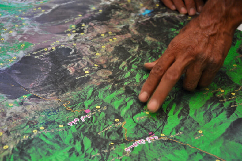
This photo essay is originally published in Intercontinental Cry. Community members analyzing a map during a Participatory GIS (PGIS) mapping exercise. PGIS places control on access and use of culturally sensitive spatial data in the hands of those communities who generated it. All Photos by our member in Iran, CENESTA.
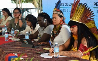
People’s Summit: Tribunal in Defense of the Bodies and Territories of Women and Gender-Diverse People
By the Brazilian Women’s Alliance (AMB), the Global Forest Coalition (GFC), the International Initiative of Women, Bodies, and Territories, and CP Peru Photos by Pilar Anco of CMP Flora Tristán and Fran Ribeiro/SOS CorpoOn Friday, November 14, the Global Forest...


