How indigenous nomadic pastoralists in Iran are using GIS maps to defend and conserve their territories
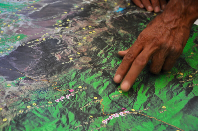
This photo essay is originally published in Intercontinental Cry. Community members analyzing a map during a Participatory GIS (PGIS) mapping exercise. PGIS places control on access and use of culturally sensitive spatial data in the hands of those communities who generated it. All Photos by our member in Iran, CENESTA.
COP28
Celebrating 20 Years of the GFC

S3FCampaign
GFC Image Library
Videos